Author Image

Hi, I am Jason

Jason Manesis

Geoinformatics Engineer at Hellenic Space Center

Results-driven Geoinformatics Engineer with a strong academic foundation and extensive experience applying Machine and Deep Learning techniques to Earth Observation challenges. Skilled in developing and deploying efficient, high-performance pipelines for diverse geospatial data processing and analysis tasks.

Skills

Work Experience

1
Hellenic Space Center

Oct 2025 - Present

Athens, Greece

The national space agency of Greece, responsible for the coordination and implementation of the country’s space strategy. It operates as a non-profit public entity overseen by the Ministry of Digital Governance, with the mission of promoting space research, fostering the domestic space industry, and managing national participation in international bodies such as the European Space Agency (ESA).

Geospatial Deep Learning Engineer

Oct 2025 - Present

Project Title: Nationwide Automated Land Cover Mapping System

Responsibilities:
  • Vision-Centric MLOps (Human-in-the-Loop): Designed and managed an end-to-end active learning pipeline; transformed model inferences into vector geometries for expert review in a database, subsequently converting corrected vectors back to raster masks for iterative model retraining.
  • State-of-the-Art (SOTA) Implementation: Developed a large-scale land cover mapping system for Greece using VHR imagery; integrated DINO-based feature extraction and SAM (Segment Anything Model) for precise boundary refinement and semantic segmentation.
  • Advanced Remote Sensing Preprocessing: Engineered high-performance workflows including MAJA atmospheric correction, Pansharpening, and Super-resolution; implemented artifact-free stitching and tiling to ensure seamless nationwide data consistency.
  • Bio-Physical Modeling: Integrated Canopy Height Estimation models utilizing spectral and geometric features to deliver multi-layered environmental insights beyond standard classification.

Strategic Partners: Ministry of Digital Governance (Greece)


Red Edge

Mar 2025 - Present

Athens, Greece

A pioneering geospatial intelligence firm specializing in the intersection of Remote Sensing and Deep Learning. The company develops AI-driven solutions for large-scale Earth Observation, applying Deep Learning methodologies to multi-sensor data to produce high-level geospatial analytics.

Geospatial Deep Learning Engineer

Mar 2025 - Present

Project Title: Development, evaluation and validation of SAR to SAR co-registration methodologies

Responsibilities:
  • High-Precision SAR Co-registration: Designed and implemented a robust pipeline for the co-registration of Very High Resolution (VHR) SAR data; engineered algorithms using optical flow, keypoint matching, and deep learning to align multitemporal datasets across Spotlight, Stripmap, and Scan modes.
  • SAR Preprocessing & ARD Generation: Developed a comprehensive workflow for converting RAW SAR data (SLC) into Analysis-Ready Data (ARD); implemented rigorous radiometric calibration, despeckling filters, and orthorectification to ensure spatial and radiometrical consistency across heterogeneous sensors.
  • Algorithm Optimization: Optimized co-registration performance for large-scale datasets, reducing processing time while maintaining sub-pixel alignment accuracy.

Strategic Partners: A leading global SAR satellite constellation provider; ESA and Horizon Europe project consortia

2

3

Athens, Greece

A leading research hub specializing in Earth Observation and Geospatial AI. The lab bridges academic R&D with commercial reality through large-scale EU (ESA, Horizon Europe) and industrial projects, developing Deep Learning pipelines for satellite data analysis and real-time environmental monitoring.

AI Research Engineer

Jan 2025 - Mar 2025

Project Title: Novel Edge-AI system for accurate and near real-time plastic detection and monitoring in marine environment

Responsibilities:
  • Space-Edge Architecture Design: Engineered an ultralight U-Net architecture for on-board marine plastic detection; optimized the model to fit within the extreme power and memory constraints of orbital hardware.
  • Model Compression & Optimization: Developed pruning, transfer learning, and quantization workflows to enable real-time inference on low-power chips; maintained high radiometric accuracy for multispectral data while meeting strict computational latency targets.

Strategic Partners: Edge SpAIce consortium; ESA and Horizon Europe project consortia; NCSR "Demokritos"

Geospatial Deep Learning Engineer

Mar 2022 - Jan 2025

Project Title: An Intelligent Early-Warning Oil Spill Detection and Prediction System for the Arabian Gulf and the Red Sea

Responsibilities:
  • Autonomous End-to-End Pipelines: Architected, developed, and deployed automated, Near-Real-Time (NRT) MLOps pipelines (preprocessing, inference, final analytics, and insights) for oil spill detection, integrating multi-sensor data (SAR and Optical) into containerized (Docker) production environments.
  • Satellite Data Preprocessing: Engineered automated Python workflows for multispectral and SAR data; implemented Sen2Cor and Acolite corrections alongside custom SNAP/Snappy wrappers for SAR GRD-to-Sigma0 processing to ensure highfidelity Analysis-Ready Data (ARD).
  • Custom Dataset & Architecture Design: Created multi-sensor large-scale geospatial datasets; designed and trained lightweight semantic segmentation architectures using hardware-specific optimizations to maximize inference speed for NRT results.
  • Strategic Technical Leadership: Acted as primary technical lead, translating complex requirements into well-scoped experiments, CI/CD workflows, and automated QA tools; enforced high standards for clean, typed Python code and rigorous peer code reviews.
  • Advanced Analytics & Visualization: Developed custom internal tooling for spectral analysis and spatial visualization, transforming raw model outputs into actionable georeferenced insights for environmental decision-making.

Strategic Partners: King Abdullah University of Science and Technology (KAUST); Saudi Aramco-KAUST Marine Environmental Observations Center (SAKMEO)


Athens, Greece

A specialized directorate within the Hellenic Army Geographical Corps dedicated to geodetic, cartographic, and remote sensing operations. The service produces specialized topographic datasets and manages strategic geospatial intelligence primarily tailored for military applications and national defense requirements.

Software Engineer - Geospatial Intelligence (Military Service)

Mar 2023 - Oct 2023

Project Title: Automated Camouflage and Geospatial Declassification System

Responsibilities:
  • Automated Image Declassification: Developed an automated system to identify and apply optical and spectral camouflage to military facilities within aerial imagery; enabled the secure declassification and public distribution of national orthophotographic datasets.
  • Big Data Geospatial Processing: Engineered a high-performance manipulation engine for large-scale aerial datasets, implementing parallelized multiprocessing and advanced tiling to handle terabytes of high-resolution imagery efficiently.
  • Full-Stack GIS Development: Designed and implemented a fully functional UI for the application, allowing for the precise management of spatial datasets, visualization of camouflaged outputs, and streamlined quality control.
  • Strategic Obfuscation: Leveraged advanced image synthesis techniques to ensure radiometric and texture consistency between camouflaged areas and their natural surroundings, preventing detection via automated visual or spectral analysis.

Strategic Partners: Hellenic Army Geographical Corps; Military geospatial intelligence units

4

Education

Geoinformatics (MSc)
Grade: 9.5 out of 10
MSc Thesis:
Oil Spill Mapping in SAR Imagery via Deep Learning and Test-Time Domain Adaptation.
Specialization:
Remote Sensing, Data Science, Machine Learning, Deep Learning.
ECTS Credits:
90
MSc Thesis Report:
MSc Thesis Presentation:
Rural, Surveying and Geoinformatics Engineering (MEng)
Grade: 7.7 out of 10
Diploma Thesis:
Ship Detection on Remote Sensing Synthetic Aperture Radar Data via Deep Learning Techniques.
Specialization:
Remote Sensing, Data Science, Machine Learning, Deep Learning.
ECTS Credits:
300
Diploma Thesis Report:
Diploma Thesis Presentation:

Projects

Nationwide Automated Land Cover Mapping System
Geospatial Deep Learning Engineer Oct 2025 - Present

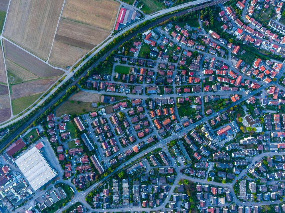
Nationwide VHR land cover mapping pipeline combining DINO-based feature extraction, SAM boundary refinement, and active learning with expert-in-the-loop corrections.
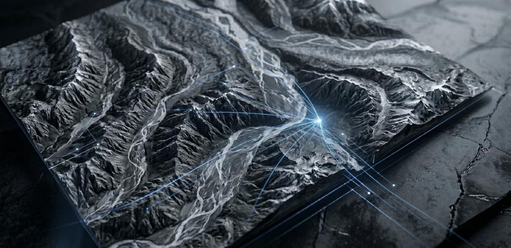
Development, evaluation and validation of SAR to SAR co-registration methodologies
Geospatial Deep Learning Engineer Mar 2025 - Present

High-precision co-registration system for multitemporal VHR SAR data with ARD generation and sub-pixel alignment across Spotlight, Stripmap, and Scan modes.
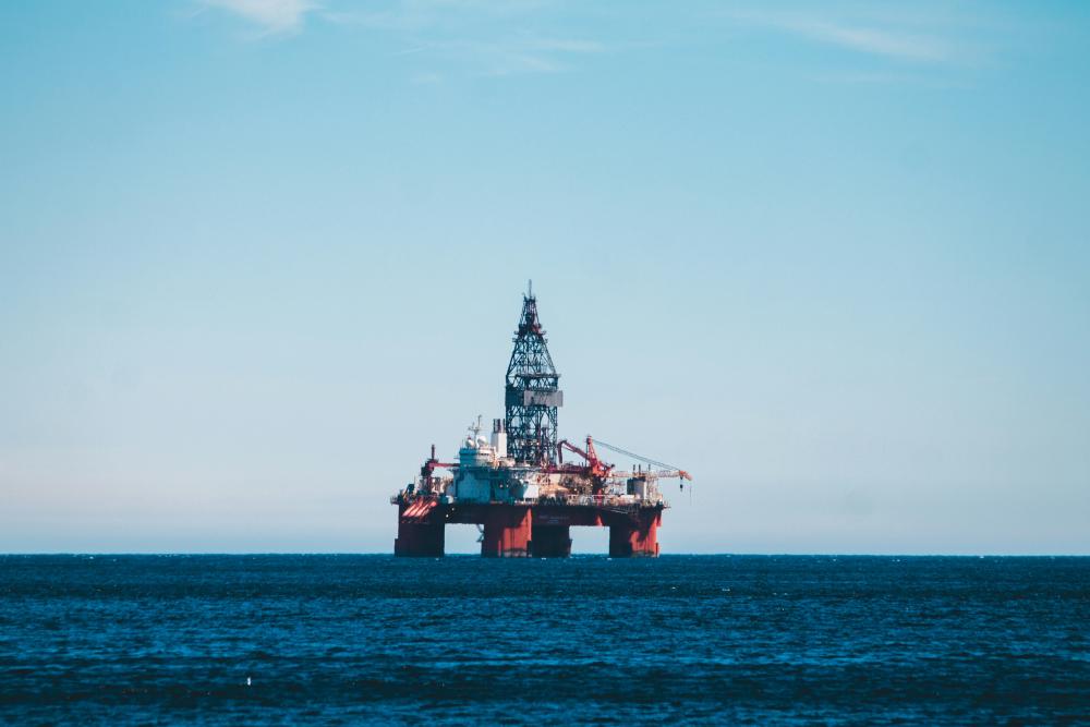
An Intelligent Early-Warning Oil Spill Detection and Prediction System for the Arabian Gulf and the Red Sea
Geospatial Deep Learning Engineer Mar 2022 - Oct 2025

Near-real-time MLOps platform integrating SAR and optical data for oil spill detection, analytics, and decision support in marine environments.

Novel Edge-AI system for accurate and near real-time plastic detection and monitoring in marine environment
AI Research Engineer Jan 2025 - Jun 2025

Ultra-light edge AI segmentation architecture with pruning, transfer learning, and quantization for on-board marine plastic detection.

Automated Camouflage and Geospatial Declassification System
Software Engineer (Military Service) Mar 2023 - Oct 2023

Ultra-light edge AI segmentation architecture with pruning, transfer learning, and quantization for on-board marine plastic detection.
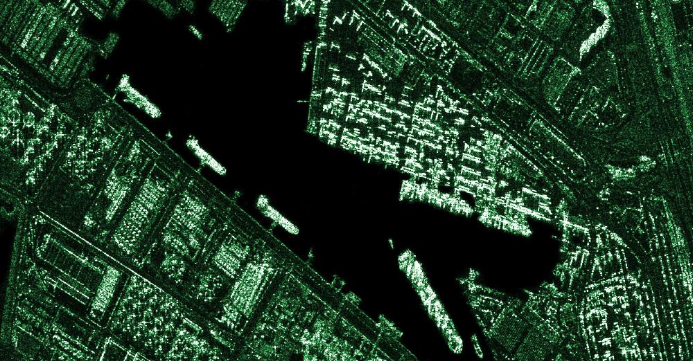
Ship Detection on Remote Sensing Synthetic Aperture Radar Data via Deep Learning Techniques
Student Researcher Nov 2020 - Feb 2022

The present project was conducted as part of my diploma thesis which focuses on the investigation of methods for the effective detection of ships in synthetic aperture radar satellite imagery utilizing deep learning techniques.
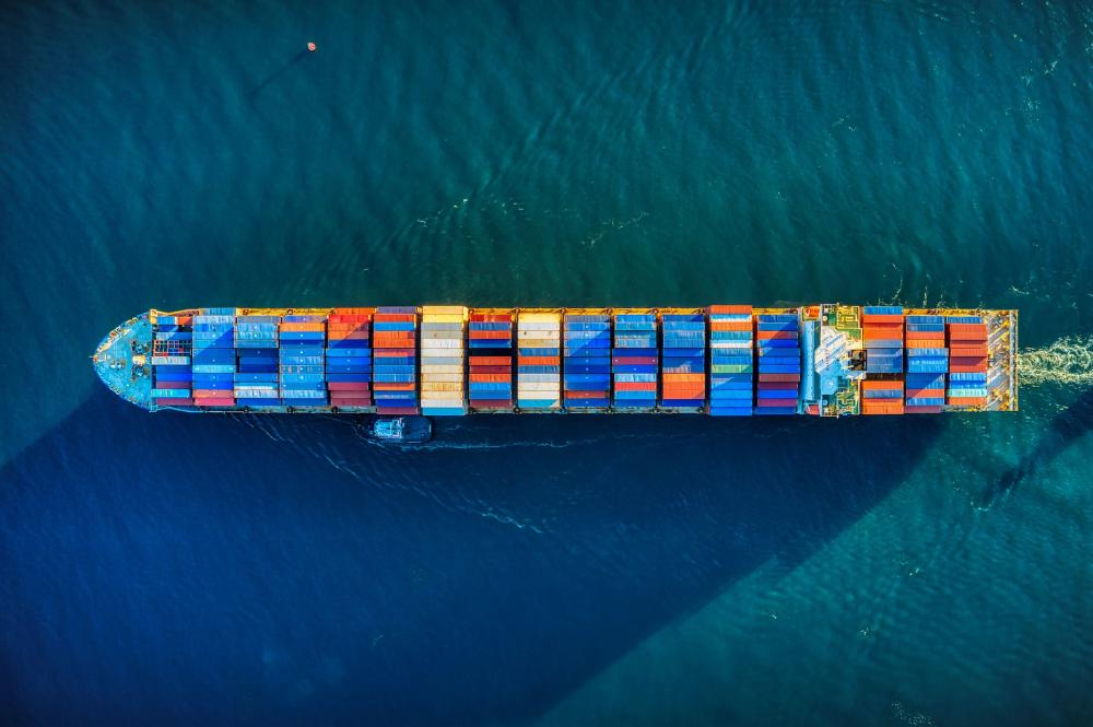
Satellite Imagery Datasets Containing Ships
Student Researcher Apr 2021 - Present

A continuously updated repository of satellite imagery datasets containing ships, curated for research and development in maritime vessel detection, classification and segmentation using remote sensing data.
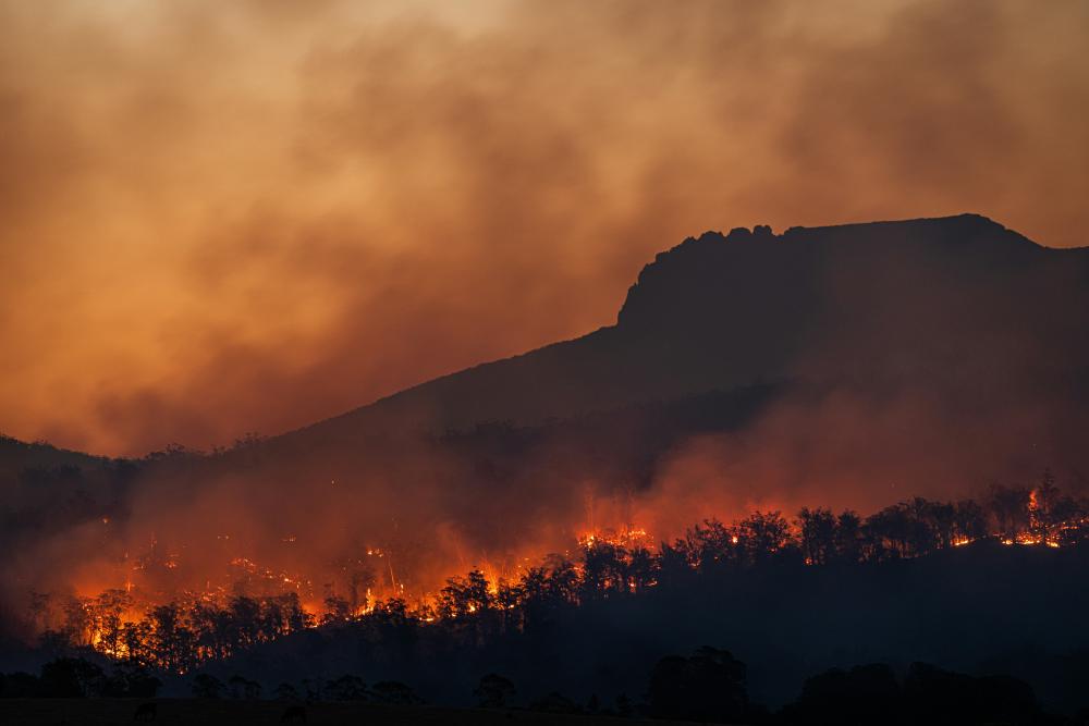
Wildfire Smoke Detection
Student Researcher Aug 2021 - Oct 2021

Convolutional neural network model based on the architecture of the Faster-RCNN for wildfire smoke detection. For this project we used a pretrained model on ImageNet dataset, from detectron2’s Model Zoo, and fine-tuned it for the task of wildfire smoke detection from optical image data.

Publications

Automated Lunar Crater Mapping, Through a Deep CNN Architecture, from DEM Extracted Images

Deep CNN approach for automated crater extraction from DEM-derived imagery to support planetary mapping workflows.

Detecting Marine Pollutants Using Sentinel-1 SAR and Sentinel-2 Optical Imagery

Multi-sensor Earth observation approach for marine pollutant detection using SAR and optical satellite imagery.